I forgot to pack the serial cable that lets me download pictures
from my camera to my laptop, so we stopped by a Fry's, where we picked
up a 64MB memory card for the camera (8 times more memory than my current
card) and a PCMCIA card reader for my laptop. For those folks who wonder
about Fry's decorative themes, this one seemed to be an Aztec Temple...we
would have taken more pictures (there were some cool carvings of skulls,
jaguars and eagles...), but they had lots of signs posted about *NOT* taking
photographs inside the store. After that pitstop it was time to zoom down
I-10 into the desert country between Phoenix and Tucson.
Once we left the interstate, the drive became much more picturesque,
as the state route we followed wound up around some foothills before dropping
back into the desert plain. Randy was so eager to get to the ruins that
he turned into the first dirt road that appeared after we saw the Casa
Grande sign. We continued down the dirt road a few miles until we
decided that the road was just a bit too inhospitable to be taking us to
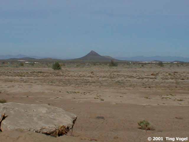
a "tourist trap". We stopped to check out a distant volcanic cinder cone
rising alone out of the plain before turning back. It sure was a good thing
that we had rented a 4-wheel drive (for sudden Randy inclinations such
as this)!
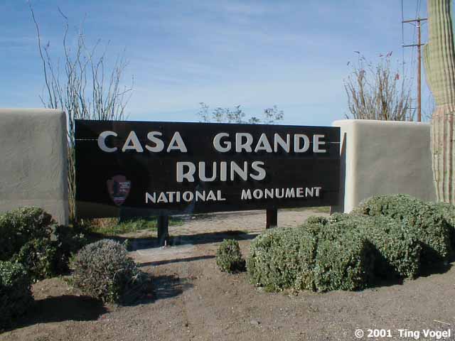
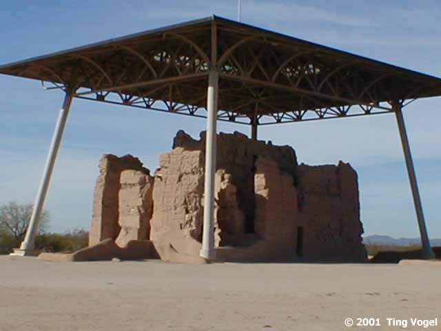
When European explorers discovered the Casa Grande Ruins around 1700,
they had already been abandoned for over 300 years. The explorer's asked
the local Pima Indians who had built the structures, to which the Indians
replied 'hohokam,' meaning 'all gone' or 'all used up'. This misunderstanding
is the origin of the name given to the ancient Indian culture.
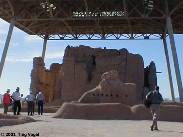
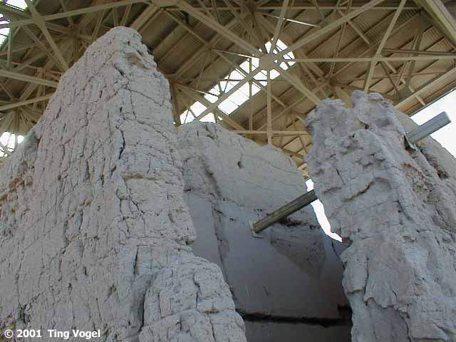
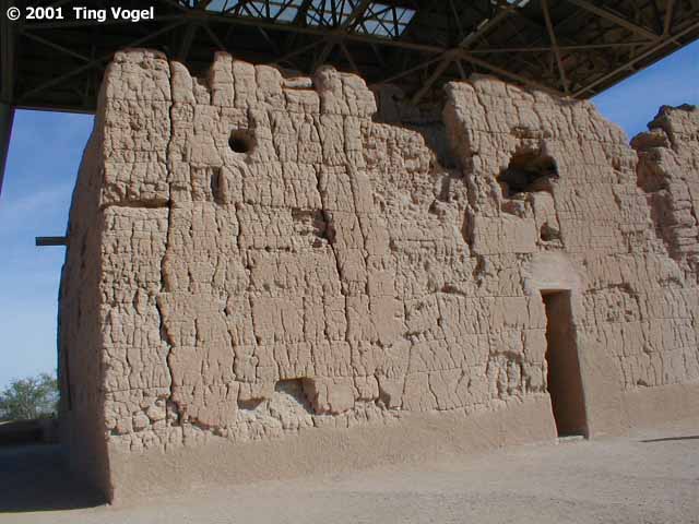
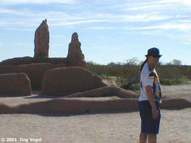
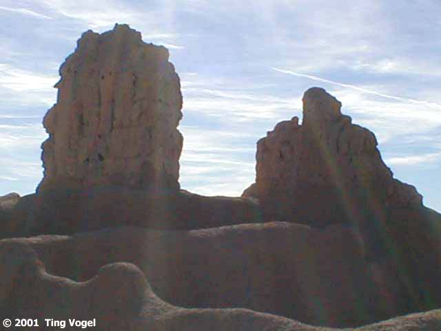
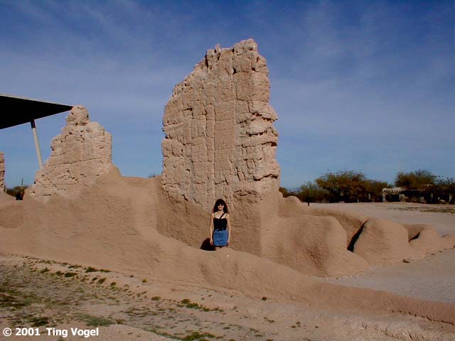
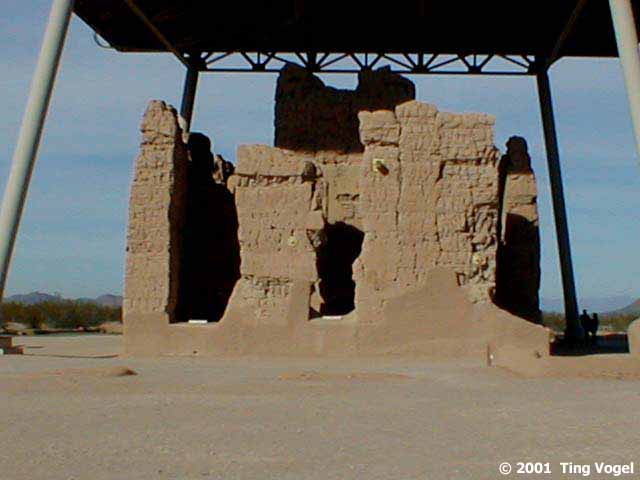
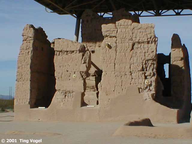
The Casa Grande Ruins, the largest structure built by the Hohokam
Indians (who lived throughout the Arizona desert from about 800 AD to about
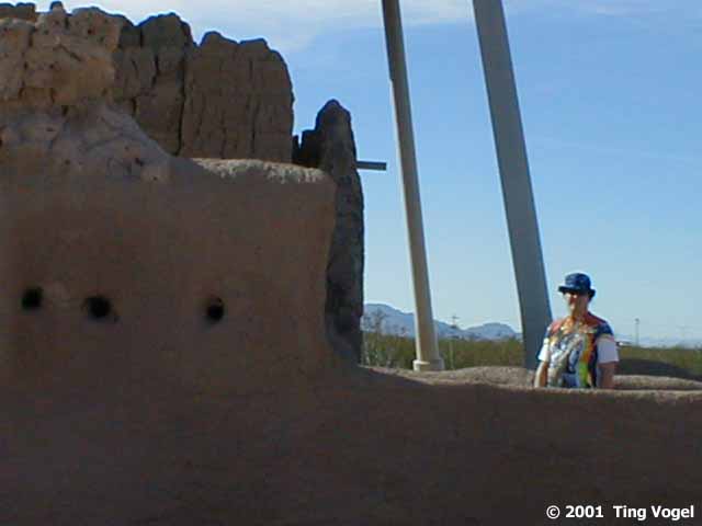
1400 AD), is a walled village with a four-story structure. Construction
of the edifice was completed about 1350 AD. The caliche walls, about four
feet thick at the base, are aligned with the directions of the compass.
Wood used in the floors and ceilings of the structure came from firs and
other trees 60 miles away. A circular hole along the upper west wall aligns
with the sunset during the Summer Solstice, and other smaller openings
correspond to other astronomical events.
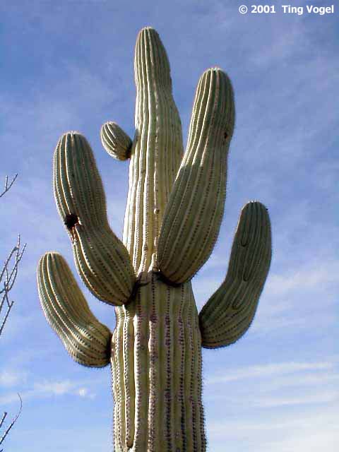
Out in the parking lot, I stopped to admire the cacti lining the
side of the road. One particularly warped cactus caught my eyes. Despite
the ravages of age, its small limbs reached just as proudly towards the
heavens.
And then we zoomed off to hike on Picacho
Peak!
|